Connexion
Toutes les ressources
Créer un design
728 Images gratuites de Far West
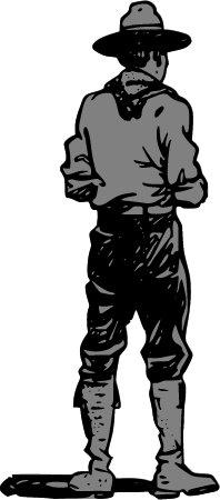
cow-boy
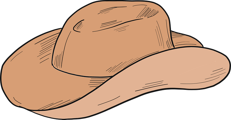
chapeau de cow-boy
historique
histoire
ancien
western
chapeau
antiquité
états-unis
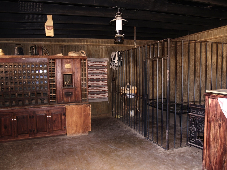
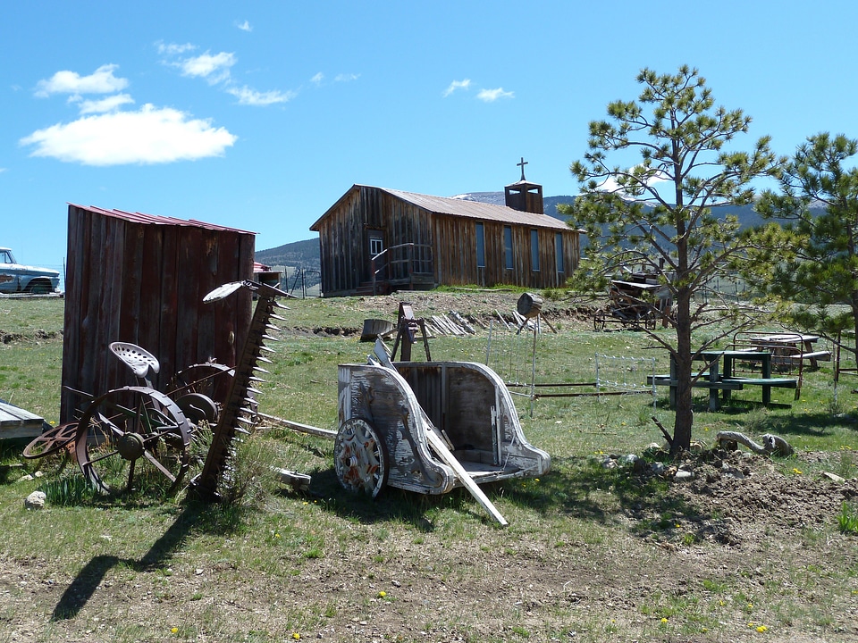
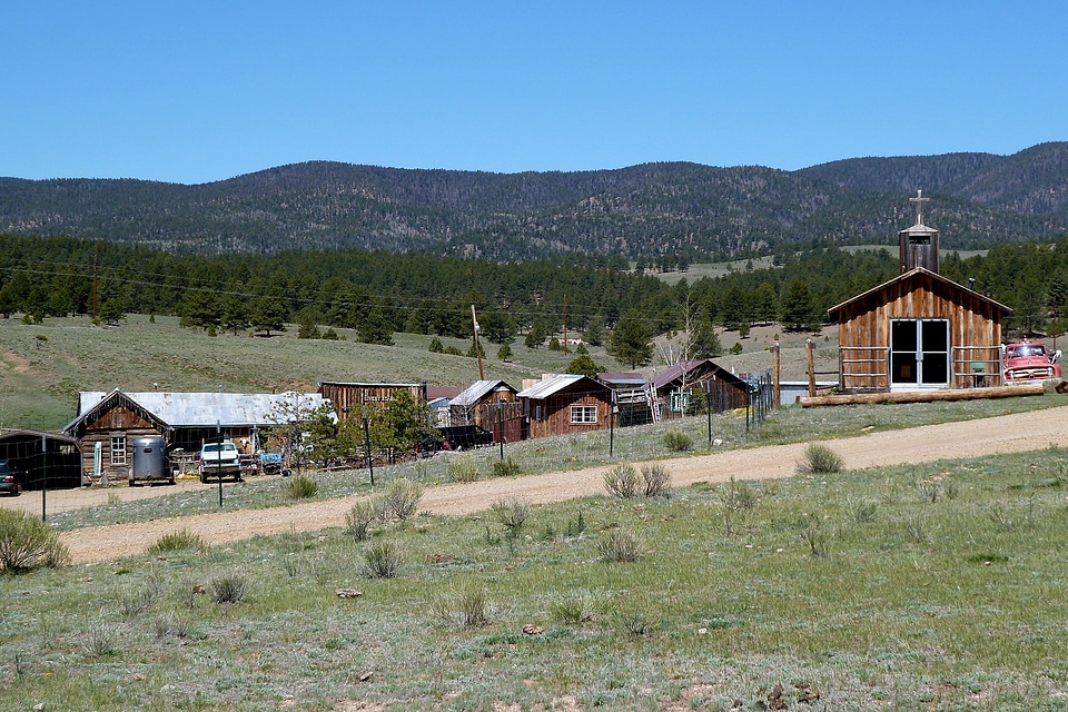
bâtiment
peinture
film
cow-boy
western
filles
femme
états-unis
corps
virevoltant
cannabis
historique
histoire
cow-boy
visage
cow-boy
visage
bâtiment
histoire
cow-boy
chapeau
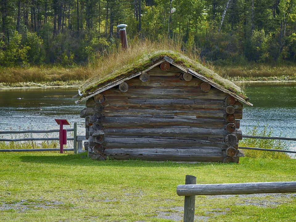
en bois
entrée
cow-boy
visage
cow-boy
homme
cow-boy
redneck
chapeau de cow-boy
far west
cow-boy
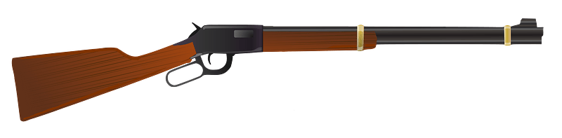
arme
cow-boy
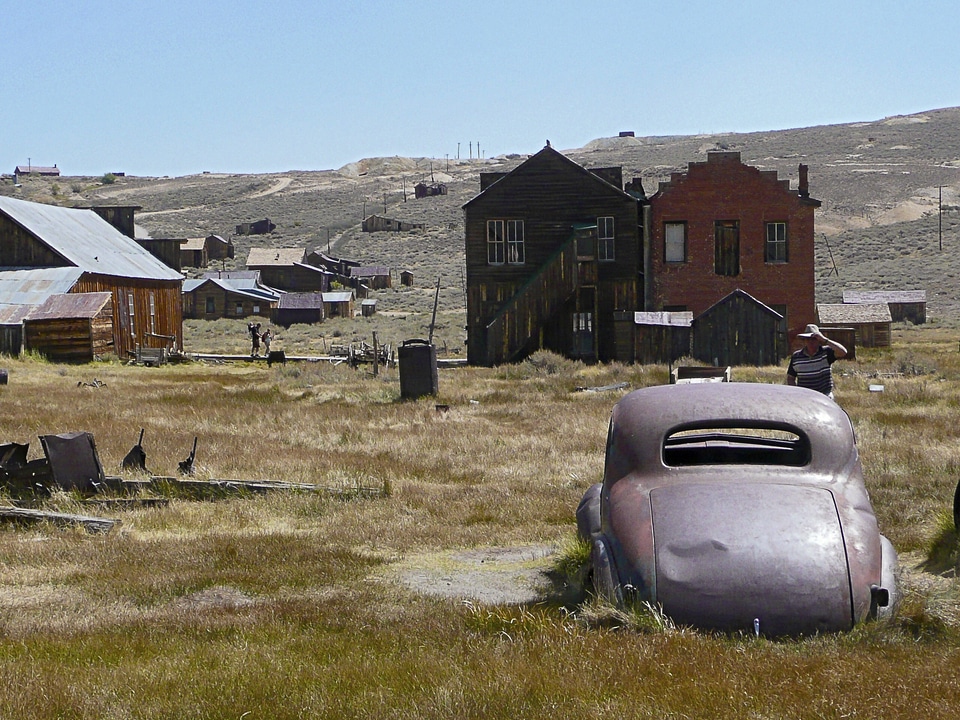
ville
cow-boy
rétro
cow-boy
visage
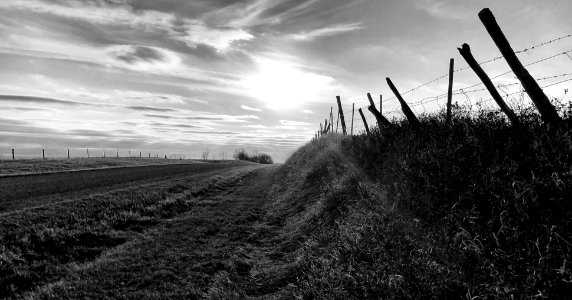
paysage
nature
s'échapper
feu
oiseaux
animaux
bâtiment
église
officier
cow-boy
cow-boy
redneck
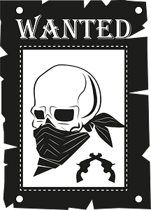
hors la loi
cow-boy
hors la loi
cow-boy
coucher de soleil
western
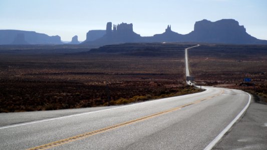
paysage
navajo
historique
histoire
cow-boy
redneck
chapeau de cow-boy
chapeau de soleil
cow-boy
chevaux
eau
paysage
nature
ancien
herbe
états-unis
bâtiment
arme de projectile
arme
chapeau de soleil
chapeau
historique
histoire
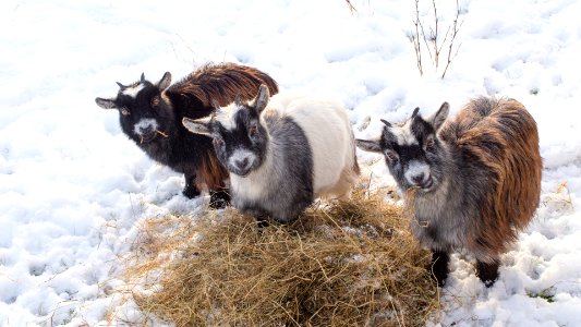
animaux
hiver
dessin
états-unis
bâtiment
squelette
crâne
dessin
cowgirls
cow-boy
vêtements
histoire
dessin
dessin
cow-boy
gens
historique
histoire
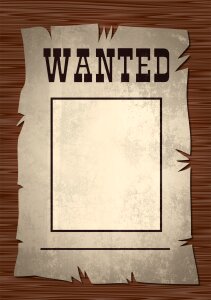
papier
états-unis
corps
états-unis
bâtiment
dessin
stylo
dessin
stylo
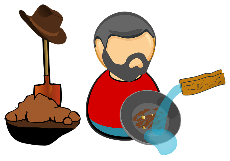
homme
or
paysage
herbe
papier
photographie
photographie
arme de projectile
arme
cow-boy
brun
bâtiment
corps
états-unis
paysage
bâtiment
paysage
bâtiment
corps
symbole
cow-boy
cow-boy
étoile
cow-boy
rétro
cow-boy
pochoir
cow-boy
fantôme
far west
cow-boy
bâtiment
corps
transport
nature
école
or
chaussures
vêtements
501 - 600 sur 728
Page suivante
/ 8